Capture for purpose
Resolution, access and control are designed around the decision the data must support.

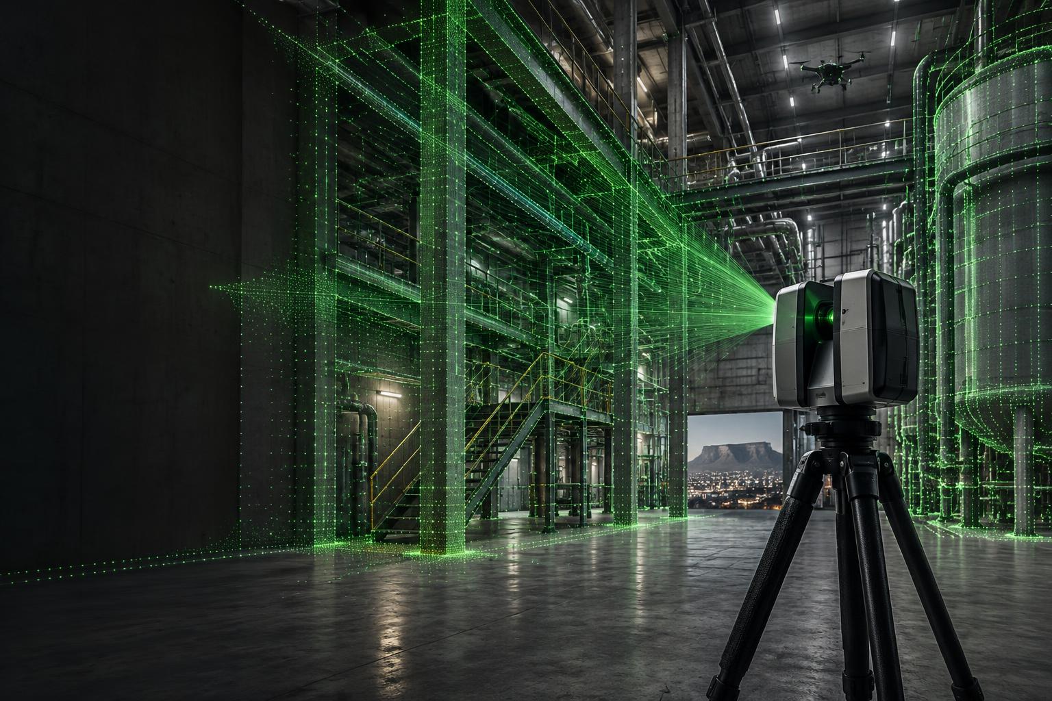
Spatial data and custom AI systems that turn complex physical environments into precise, usable decisions.
QA
Verified to scope
3D
Spatial context
4D
Time + sequence
AI
Applied intelligence
01 / Capabilities
From field capture to operational software, every layer is designed to reduce uncertainty—not create another disconnected dataset.
We combine terrestrial, aerial and photographic capture into a registered spatial record built for engineering decisions.
02 / Inspect the data
Drag the comparison control and inspect the highlighted points. The result is spatial evidence teams can interrogate, not a static report.
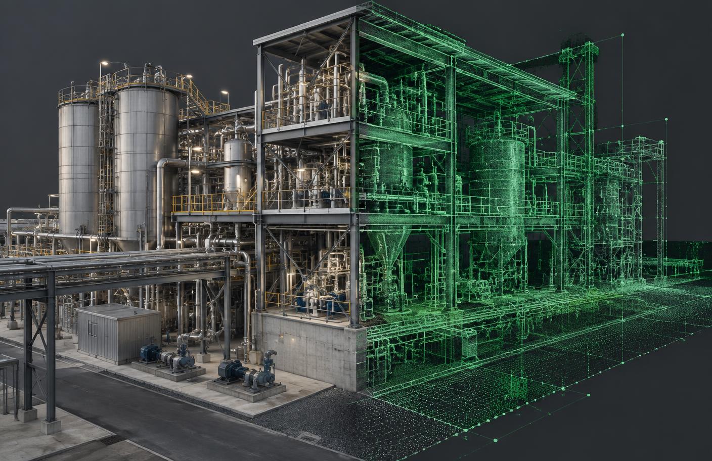
Inspection point 01
Pipe alignment
Illustrative variance: 2.4 mm
Interactive demonstration. Measurements shown are illustrative, not project data.
03 / The tech edge
A traceable workflow keeps capture intent, coordinate control, processing choices and final outputs aligned.
How we workResolution, access and control are designed around the decision the data must support.
Registration and quality checks are recorded before information enters downstream workflows.
Outputs are coordinated to the platforms, teams and level of detail that will use them.
AI is applied where repeatable classification, inspection or retrieval creates measurable value.
We’ll shape the right capture, modeling and software workflow around it.